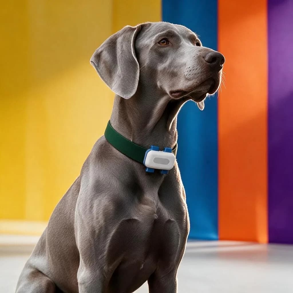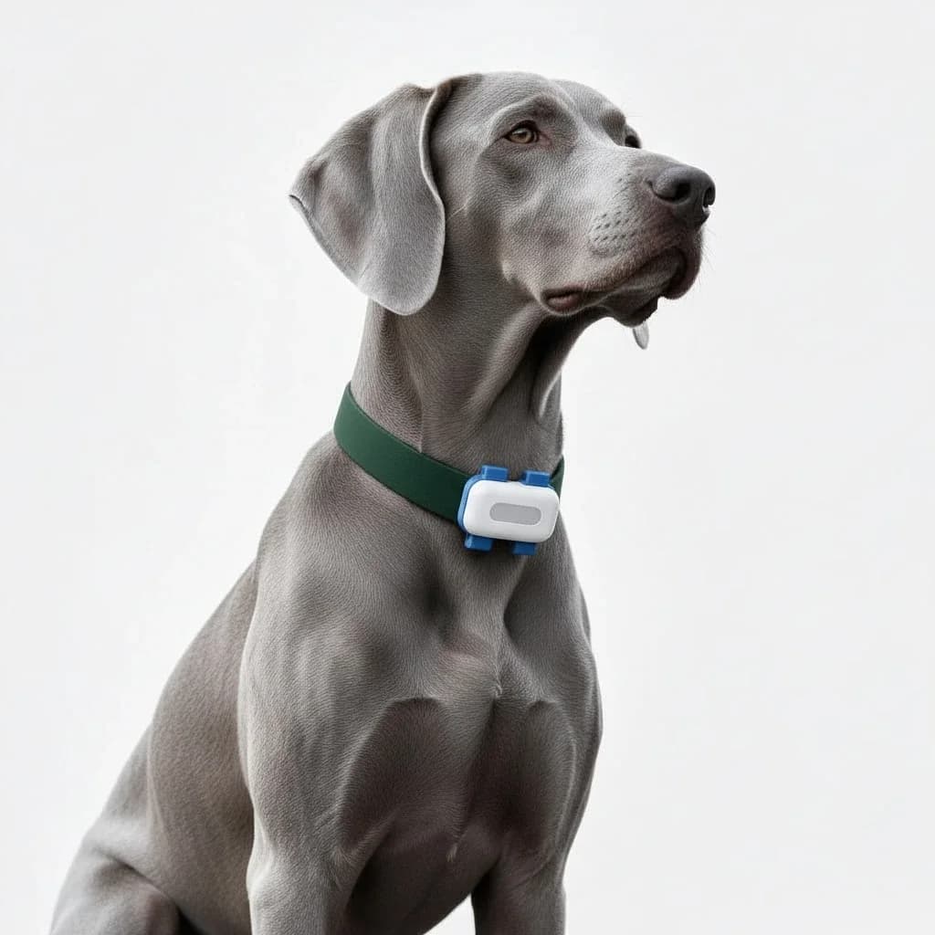
In brief
- The collar works out its position from satellites, without sending them anything.
- It transmits it over the mobile network (4G), like a phone.
- With no network, the position doesn’t come through: the app shows the last known one and its time.
- View of the sky, mobile coverage and how often it sends make the quality of tracking.
A GPS collar seems like magic: your dog goes off exploring, and its position appears on your phone. In reality, four very concrete steps follow one another, each with its strengths and limits.
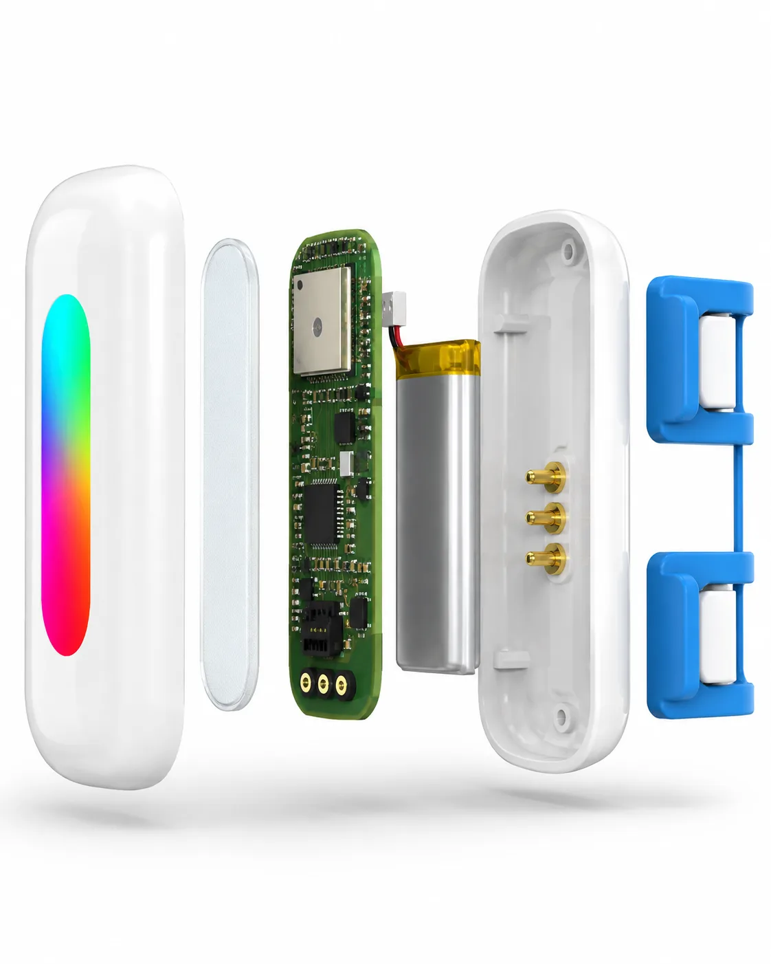
- 01SatellitesThe collar picks up GPS and Galileo signals and works out its position.
- 024G networkThe collar’s modem sends the position over the mobile network.
- 03ServerThe position is stored: routes, zones, activity.
- 04AppLive map, zone alerts, walk history.
Step 1 — The device listens to the satellites
Constellations of navigation satellites (the American GPS, Galileo in Europe…) constantly broadcast time-stamped signals. The collar’s receiver picks up these signals and, by comparing how long the signals from several satellites take to arrive, works out its own position. It is a purely passive calculation: the collar sends nothing to the satellites.
Accuracy depends on how much of the sky is visible: on open ground, it is in the order of a few metres; in dense forest, in town between buildings or indoors, the signal degrades and the position can fluctuate. That is why recent trackers combine several sources.
- GPSThe most accurate, outdoors with a good view of the sky.
- Wi-FiVisible Wi-Fi networks help locate the animal indoors or in town.
- LBSThe position of mobile masts gives an approximate area, as a last resort.
Step 2 — The mobile network carries the position
Knowing its position isn’t enough: it has to be sent to you. That is the job of the built-in cellular modem, which uses the mobile network (4G) with its SIM card, exactly like a phone. This step explains two realities of dog GPS:
- where there is no mobile coverage at all, the position is calculated but can’t come through immediately;
- connectivity has a cost (the SIM card and network access), paid for, depending on the brand, through a subscription or an included period — see Dog GPS without a subscription.
Step 3 — The server processes and stores
The position received is processed on the server side: walk history, distance calculation, detection of leaving a zone. This is the layer that turns raw points into useful information — a route, an alert, an activity summary.
Step 4 — The app alerts you and shows the map
All your phone has to do is display the result: live position on the map, the route of the walk, a notification if your dog leaves the zone you have set. In the Bixar app, the Bixar Phoenix 4G GPS adds active tracking when every minute counts, position history and walk recording.
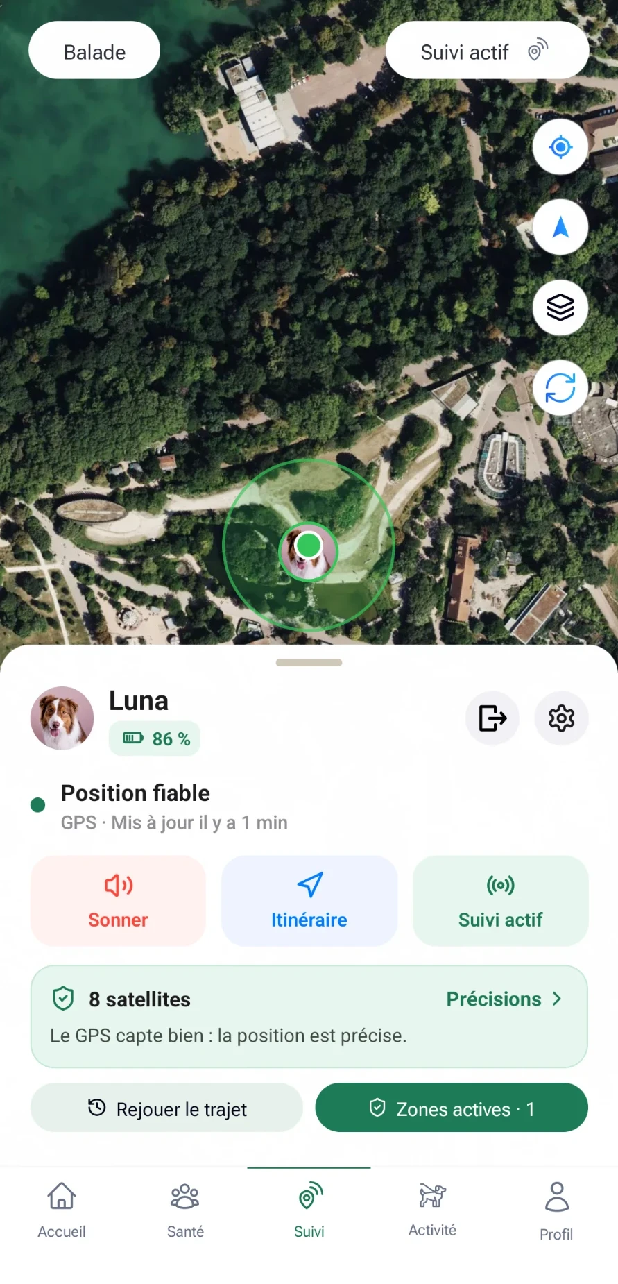
Tracking: reliable position, 1 min ago
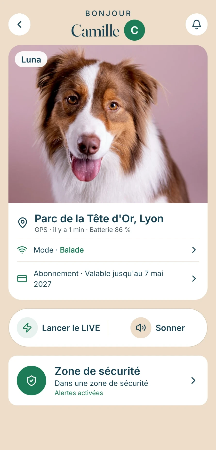
Home: position, battery, zone
4G GPS, Bluetooth, AirTag: the difference in one minute
A Bluetooth tracker or an AirTag only communicates when it is within range of a device; it depends on other people’s devices around it. A 4G GPS uses the mobile network: it works wherever that network reaches. On the other hand, it always needs connectivity (included or by subscription). Details: AirTag or GPS for dogs: what’s the difference?.
And with the Bixar Phoenix?
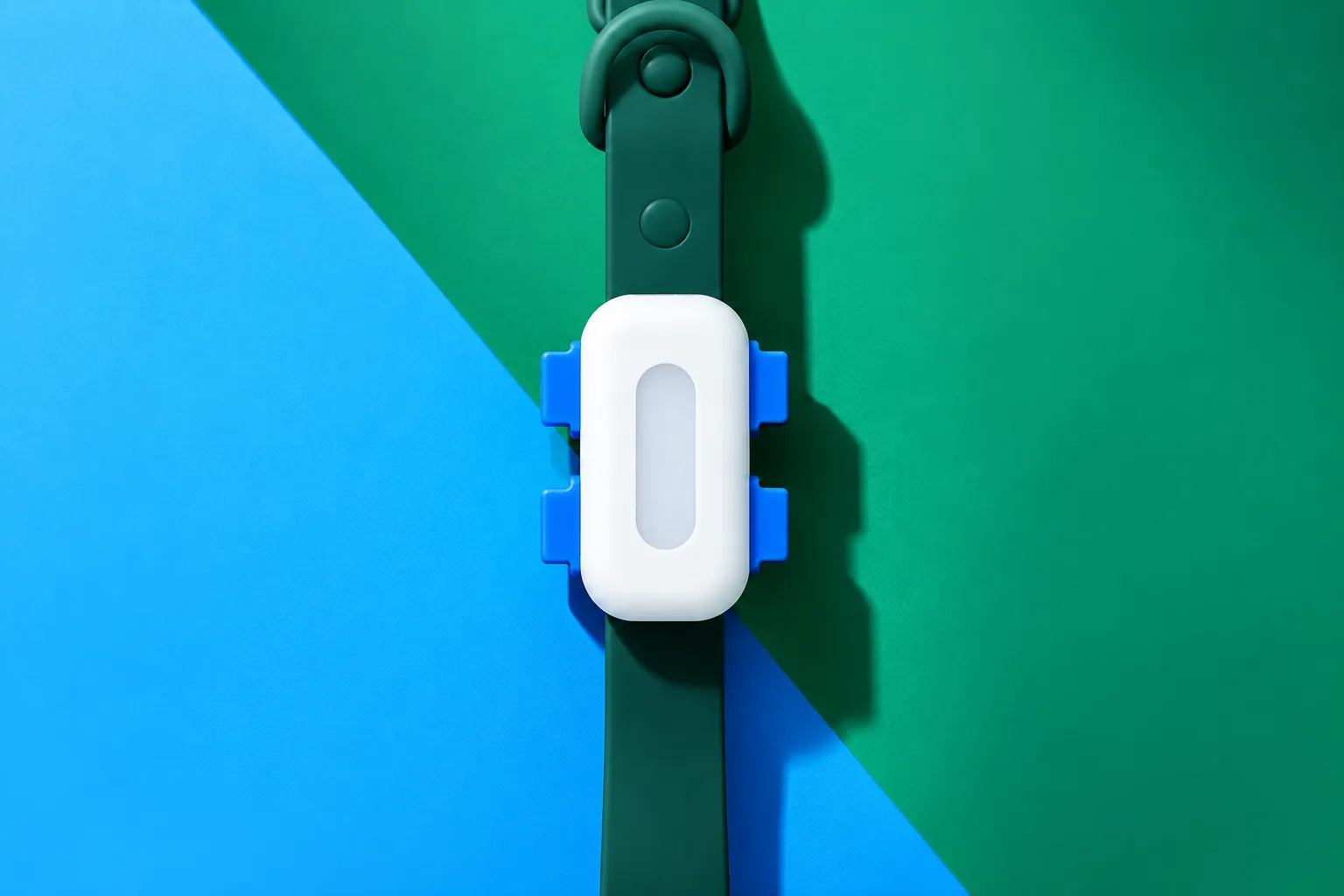
The Bixar Phoenix 4G GPS is a 32 g, IP67 tracker, with 4G via a built-in SIM card, backup location via Wi-Fi and mobile masts (less accurate than GPS), a 365-day history and four tracking modes (LIVE, Walk, Power saving, Custom) that balance accuracy and battery. The digital health record is included. Two editions: Graphite & Rouge (€120, 4G included for one year, then €29.90 a year) and Noir & Champagne (€220, 4G included with no annual renewal for as long as the device works, in France and the European Union). To compare with other brands, see the dog and cat GPS comparison.
What a 4G GPS can’t do
It only sends its position where the mobile network reaches: in an area with no coverage, the position doesn’t come through immediately. Indoors, between buildings or under thick trees, accuracy drops; Phoenix states 2 to 10 metres in favourable conditions. Before a trip, see GPS when travelling in Europe: the guide.
What affects the quality of tracking
- View of the skyOpen ground: a few metres. Dense forest, buildings, indoors: the position fluctuates.
- Mobile coverageIt determines whether the position comes through in real time.
- How often it sendsFrequent updates track closely, but use more battery.
How often it sends is a trade-off with the battery — see our guide on a tracker’s battery life. Understanding this chain helps you interpret what you see: a position that “jumps” a few metres is not a fault, it is the physics of the signal.
The GPS helps you find your pet.
The medallion helps the person who found it find you.
For a cat, the reasoning is similar but weight and attachment matter more: see Cat GPS: how to choose a GPS collar.